[ 03 / Processing ]Feature extraction
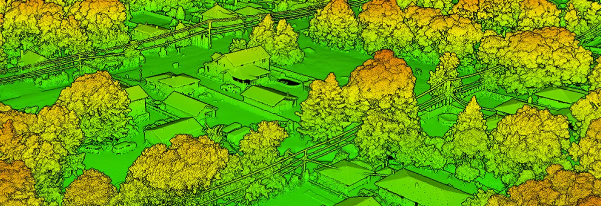
We use advanced data processing tools to transform raw LiDAR data into highly detailed, actionable outputs tailored for engineering and design needs. Our capabilities include precise feature extraction, allowing us to identify and map critical elements like curbs, pavement edges, paint lines, and utility features with exceptional accuracy. That data is then refined into CAD-compatible formats, making it seamless to integrate into platforms like Autodesk and AutoCAD.
Our tools let us analyze and process massive datasets efficiently, ensuring every detail is captured and optimized for usability. We deliver comprehensive deliverables such as contour maps, cross-sections, and 3D surface models, which are essential for accurate project planning and execution — particularly for roadway design, drainage analysis, and utility mapping.
By leveraging these capabilities, we help engineering firms streamline workflows, reduce manual labor, and improve project accuracy — whether the work is a large-scale infrastructure program or an intricate design challenge.