Wingtra Ray
Flagship VTOL airframe
- /1,360 ac / 550 ha per flight
- /59 min endurance · 49 mph cruise
- /RTK/PPK to 3 cm absolute
- /Blue/Green UAS listed
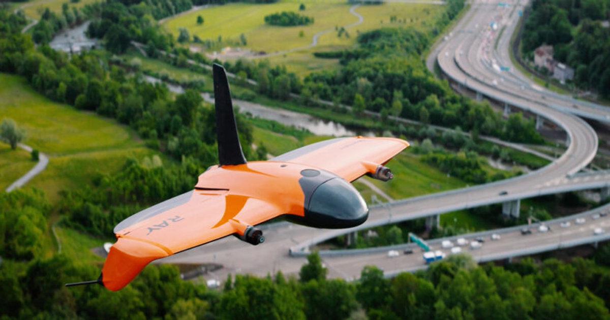
The Wingtra Ray stands at the cutting edge of aerial surveying, engineered for those who demand relentless efficiency and uncompromising data quality — and it is by far our flagship drone. This VTOL powerhouse covers up to 1,360 acres (550 hectares) in a single 59-minute flight, thanks to its industry-leading 61MP full-frame camera and advanced RTK/PPK positioning that delivers absolute accuracy down to 3 centimeters. The Ray's tailsitter design means you get the best of both worlds: vertical takeoff and landing for tight sites, plus fixed-wing endurance and cruise speeds up to 49 mph. It's Blue/Green UAS listed, so it's government-approved for secure operations in 98% of U.S. airspace, and its integrated parachute system adds a layer of safety for regulatory compliance. Built to thrive in tough conditions, the Ray shrugs off sustained winds up to 27 mph and delivers photorealistic maps and dense 3D models in record time. From massive construction sites to complex municipal projects, the Ray is more than a drone — it's a fully integrated, end-to-end mapping solution.