About 9 Line
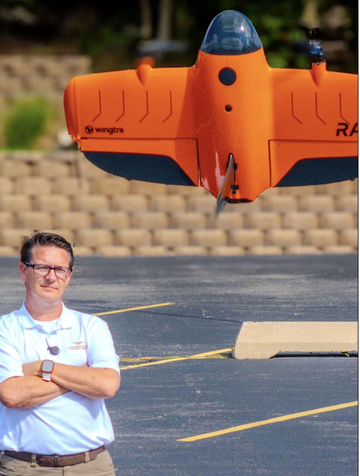
Brian Layhew — Master Sergeant, USAF (Ret.)
From 2000 to 2023, Brian Layhew dedicated his career to the United States Air Force, where he rose to the rank of Master Sergeant. Over 23 years he developed exceptional leadership, precision, and mission-focused discipline, frequently operating in high-stakes Search and Rescue environments where every decision mattered and accuracy was often the difference between life and death.
After retiring from the Air Force, Brian set his sights on a new mission: founding 9 Line. Carrying forward his commitment to service and excellence, he leveraged his military-honed skills and passion for advanced technology to build a company that delivers best-in-class aerial mapping, photogrammetry, and LiDAR solutions. His approach is rooted in the same values that guided his military career — integrity, reliability, and a relentless pursuit of accuracy.
For Brian, the mission never truly ends — it evolves. Today he channels his experience and dedication into empowering communities, engineers, and city leaders with precise, actionable geospatial intelligence that drives smarter decisions and real-world impact.
- 23 yrs
- USAF service
- MSgt
- Retired rank
- SAR
- Search & Rescue background
- Part 107
- Certified & fully insured
Redefining what's possible in geospatial data acquisition and delivery.
We exist to bridge the gap between cutting-edge drone technology and the practical, real-world needs of the engineering, construction, and municipal sectors — providing a seamless pathway from complex aerial data to actionable, decision-driving insight.
Precision, speed, reliability
Our veteran-owned team leverages the latest photogrammetry, LiDAR, and GNSS technology to produce deliverables that meet the highest standards for accuracy and clarity. Investing in top-tier equipment like the Wingtra Ray and Emlid GNSS receivers means our maps, models, and site data are not just visually impressive — they're trusted by engineers, planners, and decision-makers to guide critical projects forward.
Data that empowers
Aerial data should do more than document — it should empower. Our workflow is built around rapid turnaround, transparent communication, and a relentless focus on client needs. We take pride in explaining complex technology in straightforward terms, making advanced geospatial solutions accessible to every client, regardless of technical background.
Safety and integrity, non-negotiable
Every mission is planned and executed with meticulous attention to regulatory compliance, data security, and operational best practices. We actively educate our clients, helping them unlock the full value of drone-derived data for smarter planning, reduced costs, and minimized risk.
Excellence as the baseline
Excellence is not our goal — it's our starting point. We're driven by a passion for innovation and a deep respect for the trust our clients place in us, and we measure success by the clarity, confidence, and progress we deliver on every project, every time.
Elevate. Empower. Excel.